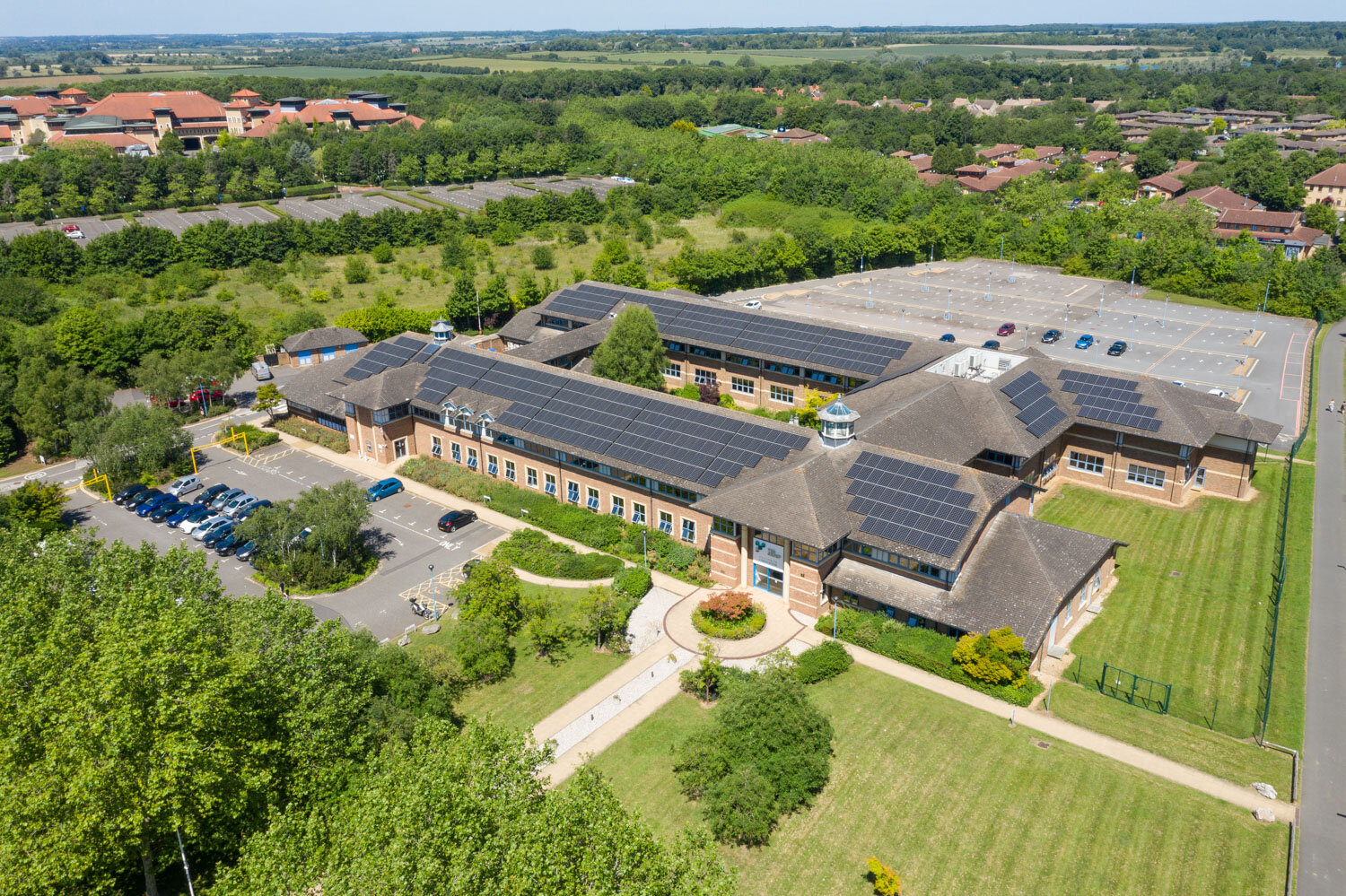
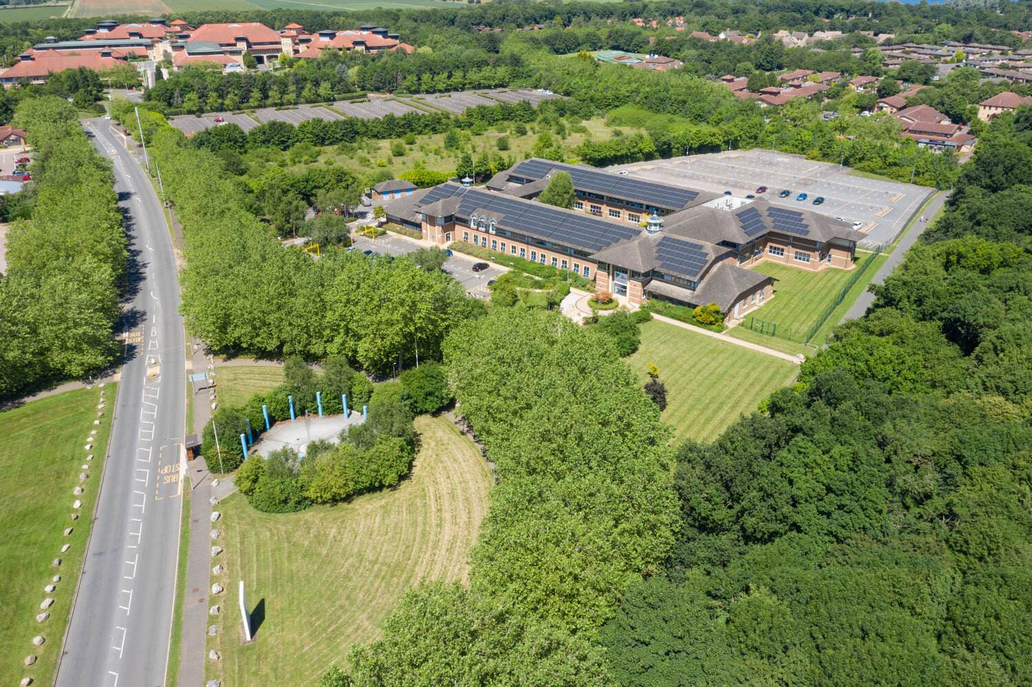
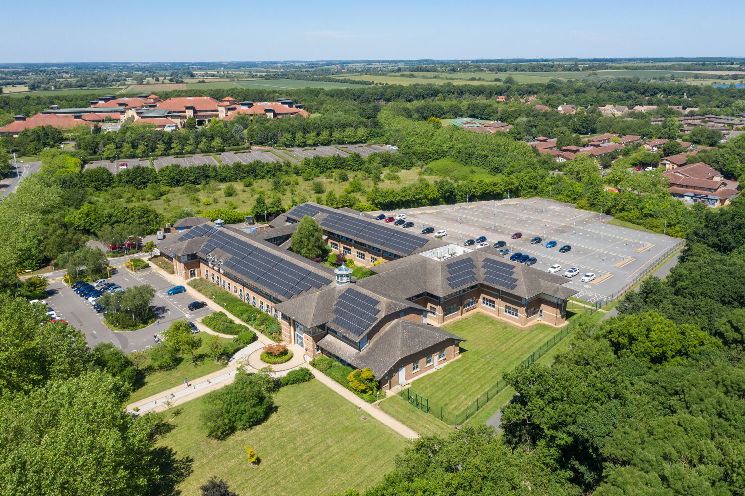
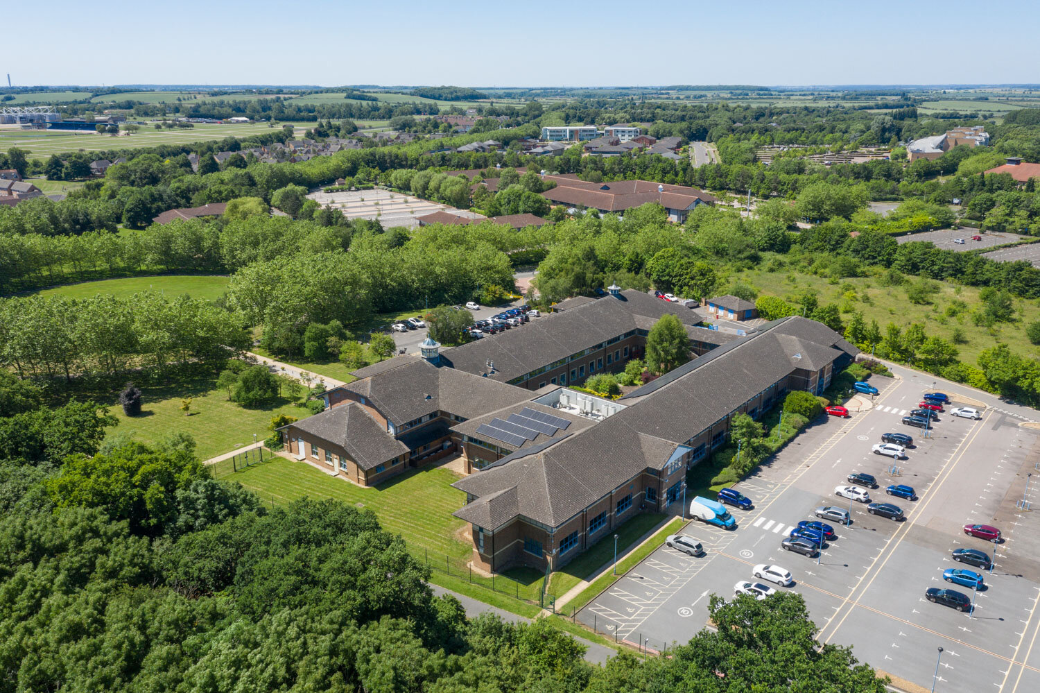
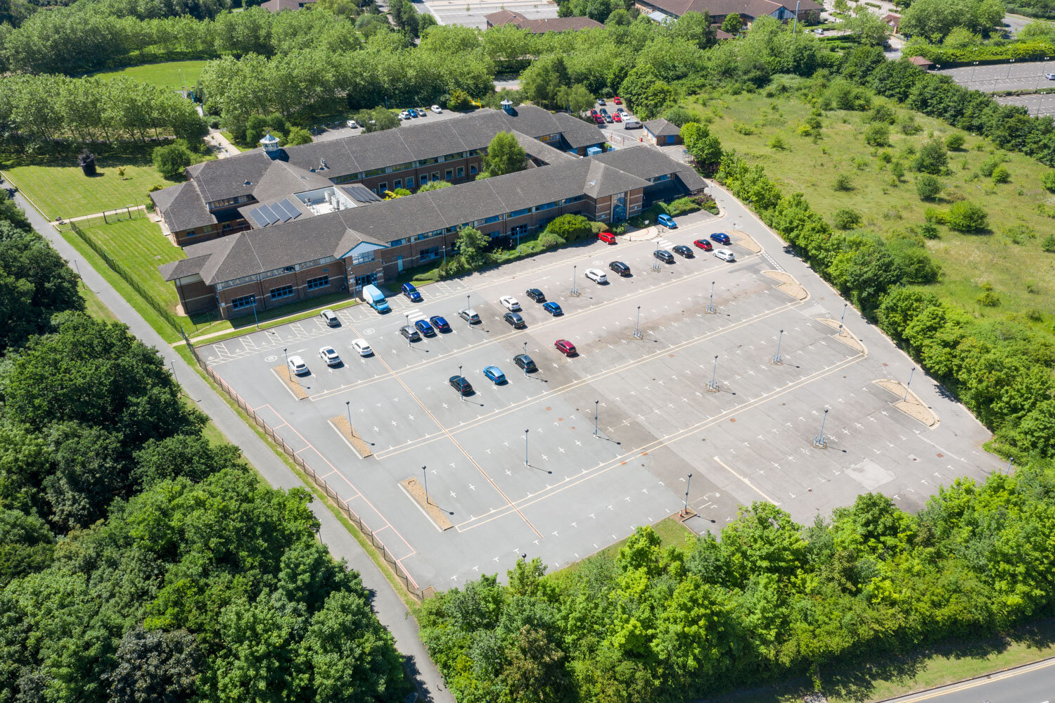
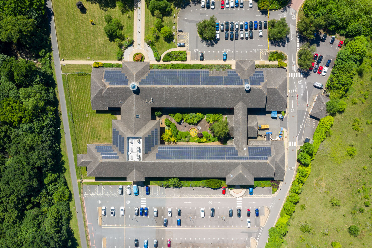
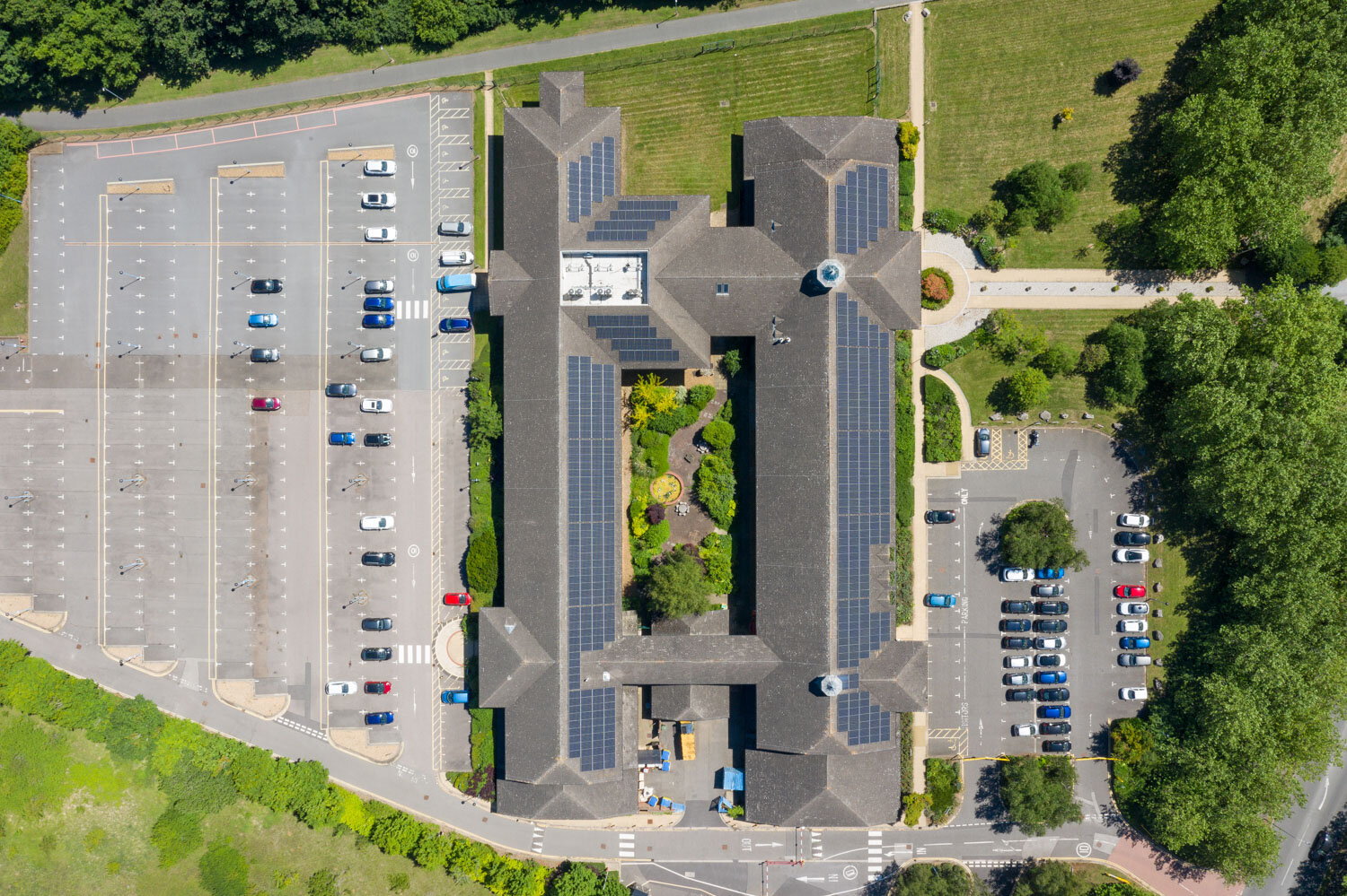
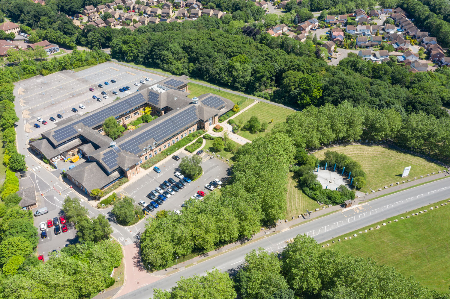
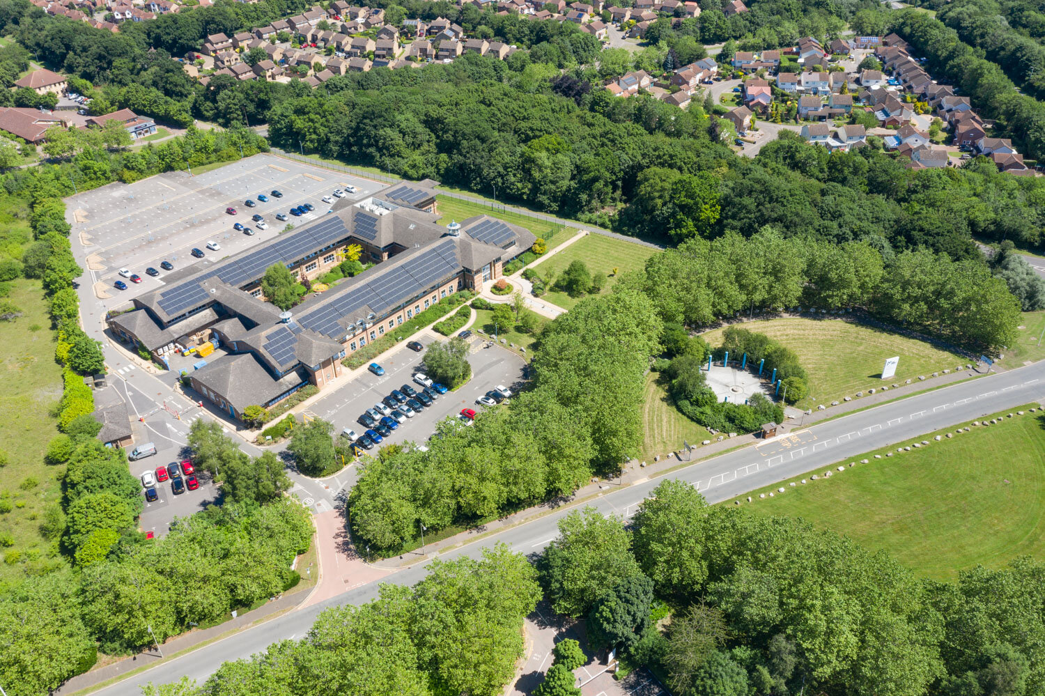
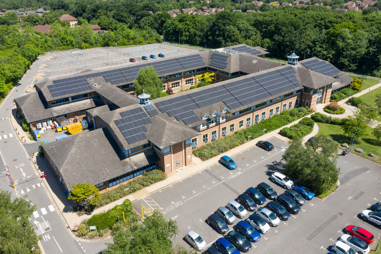
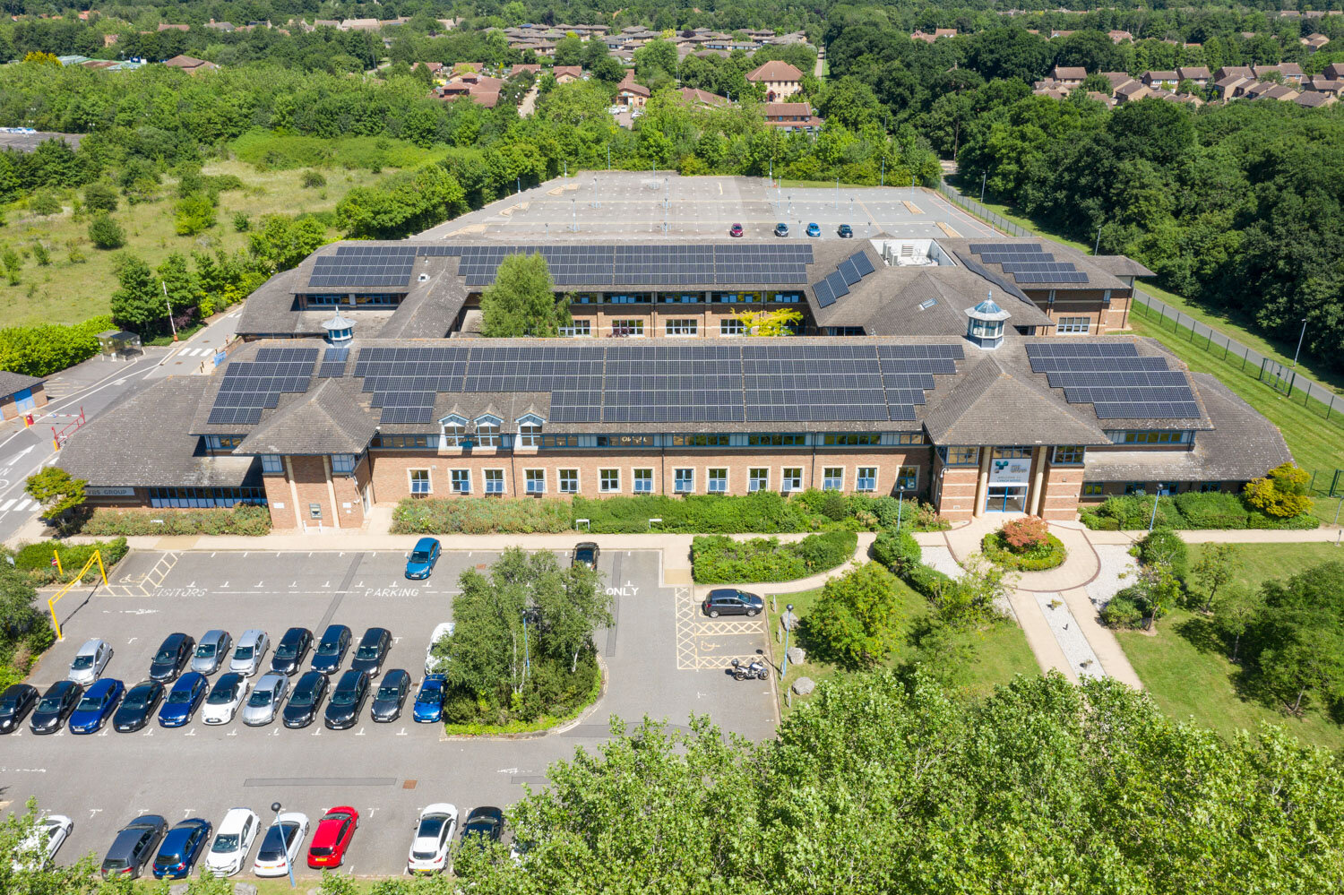
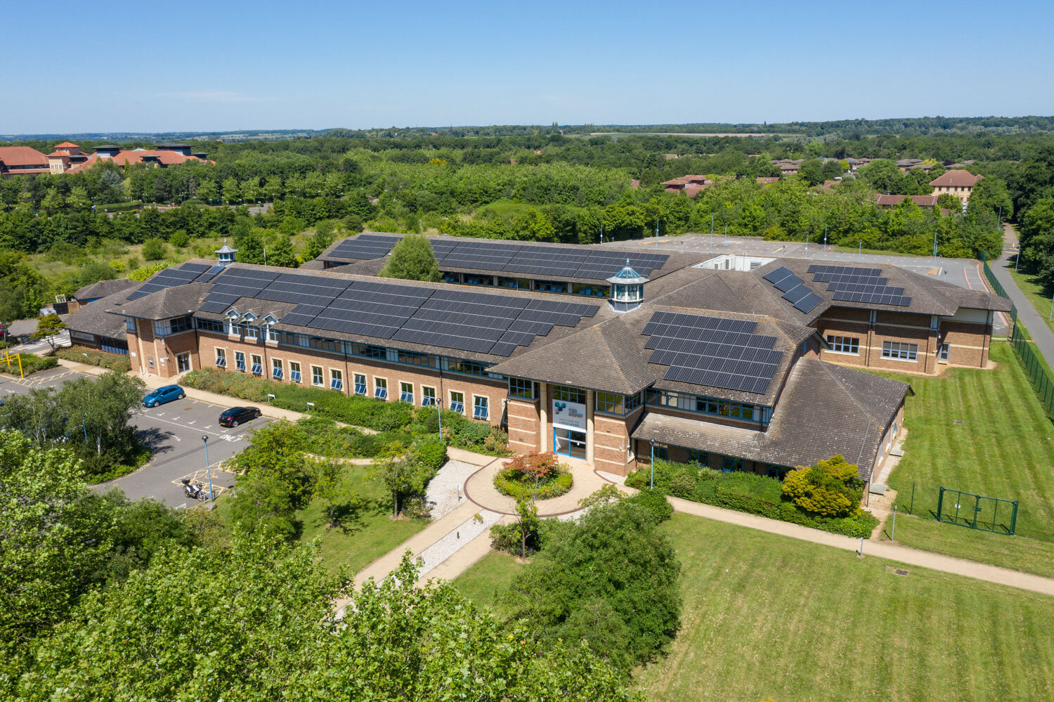
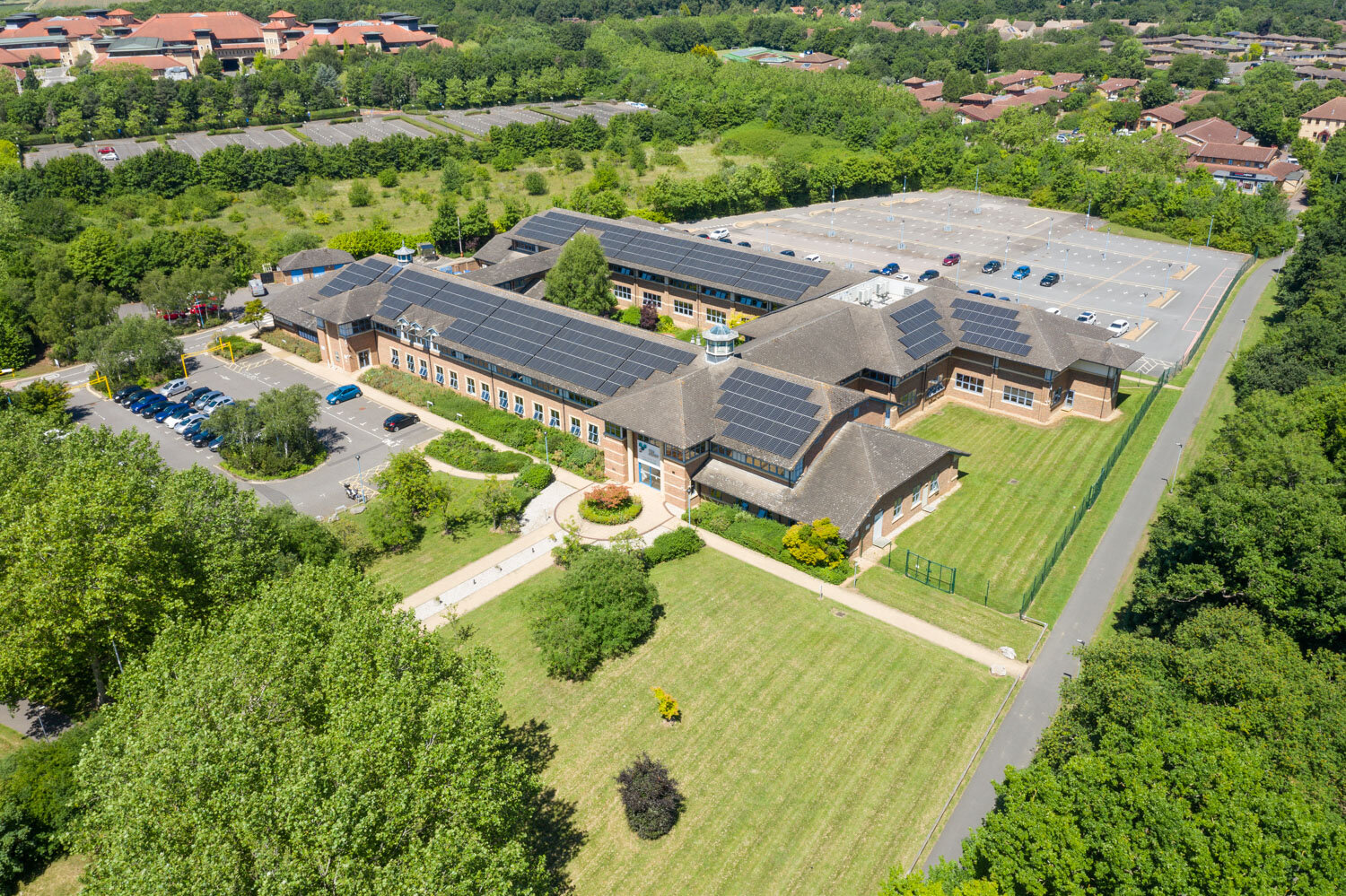
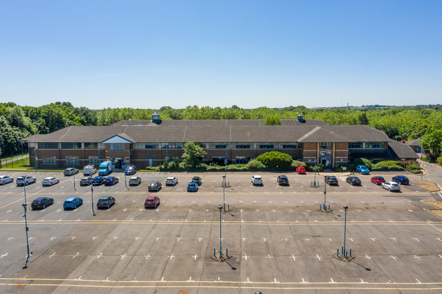
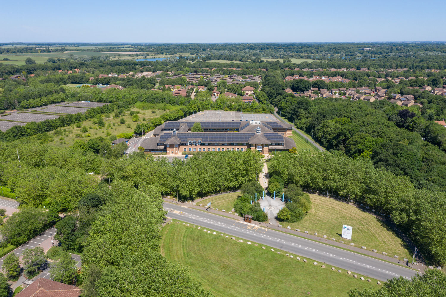
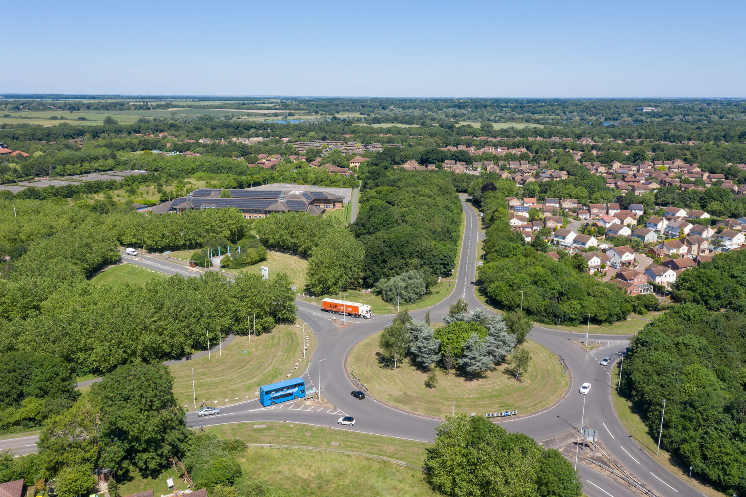
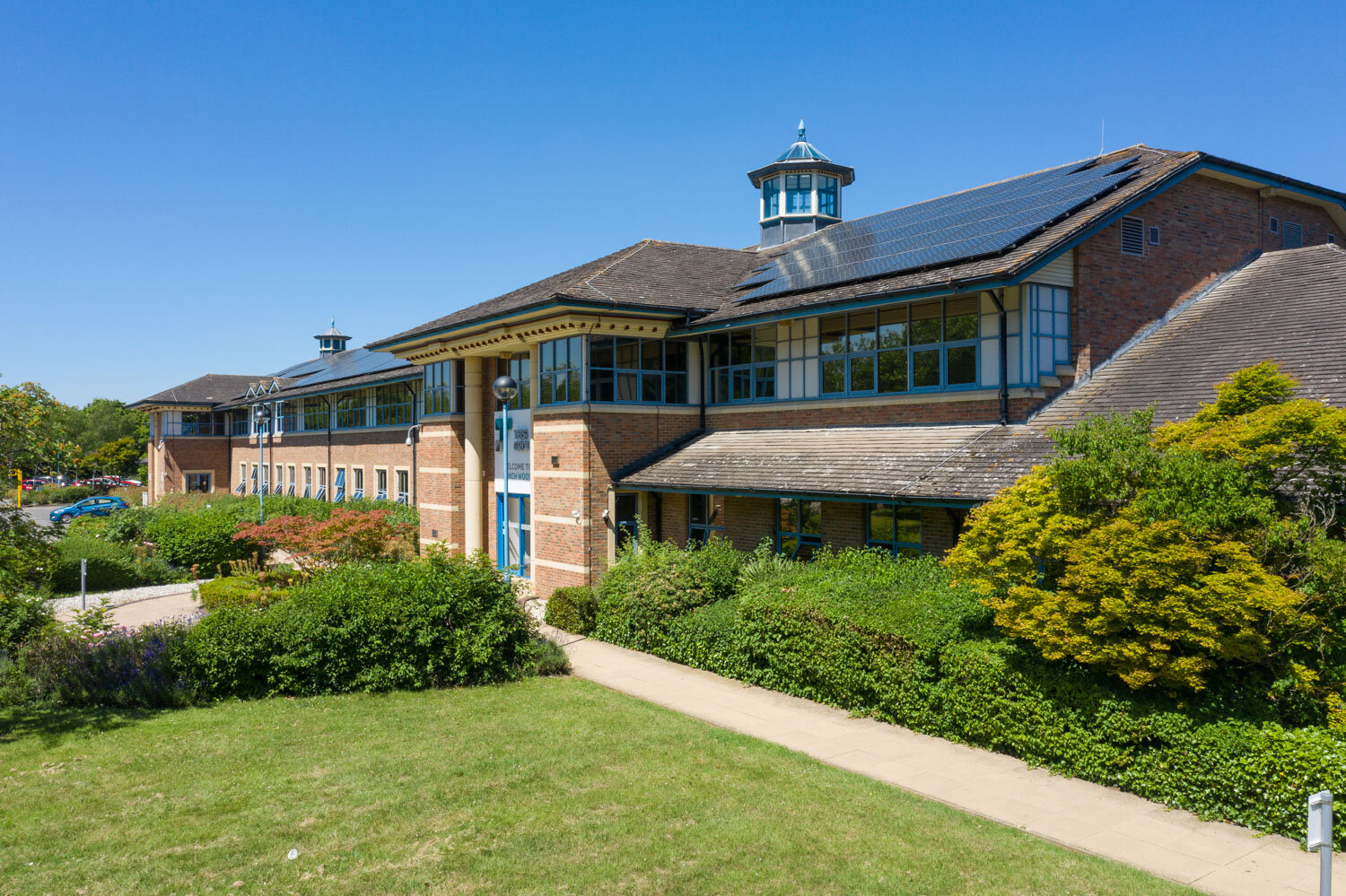
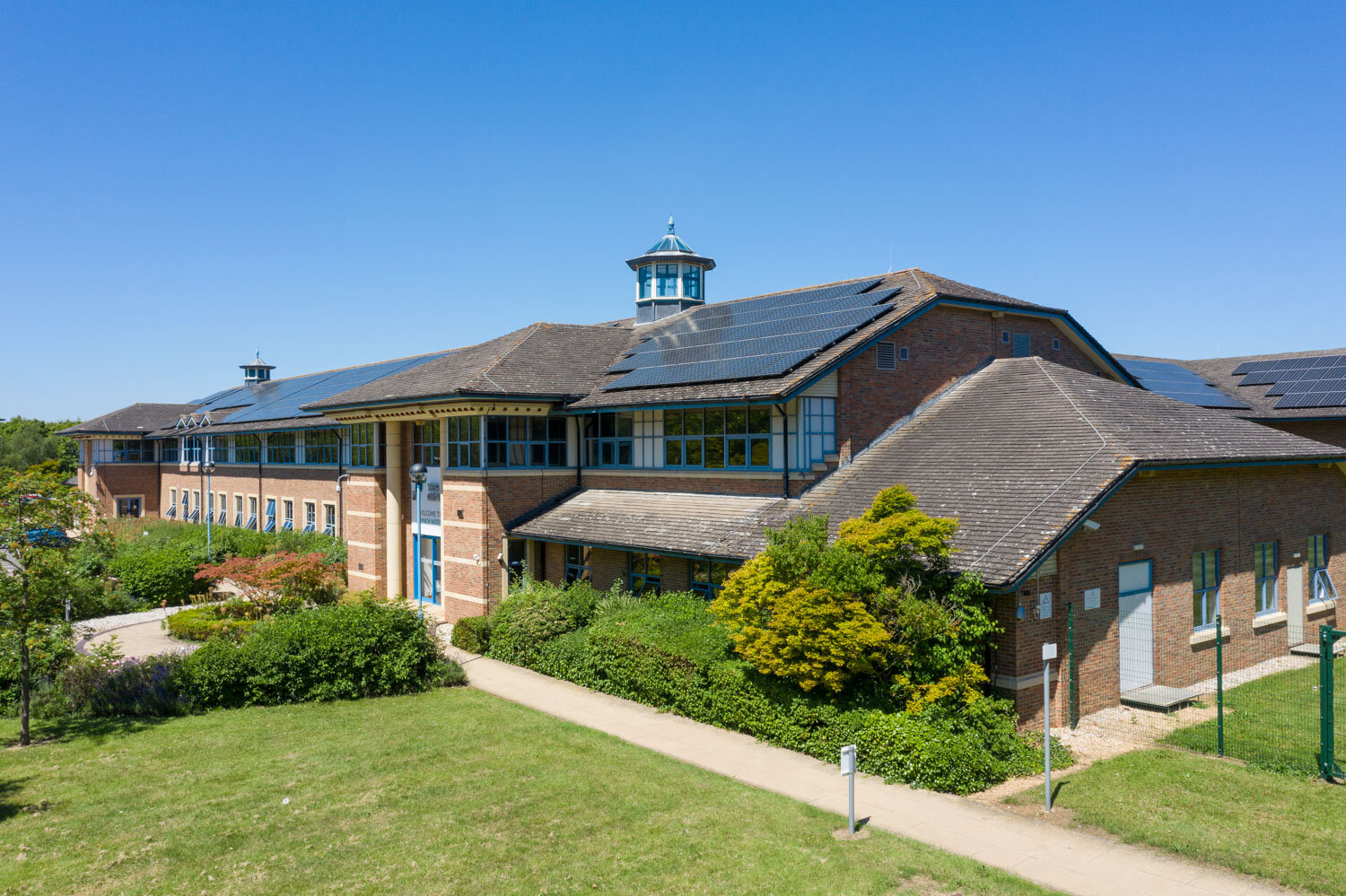
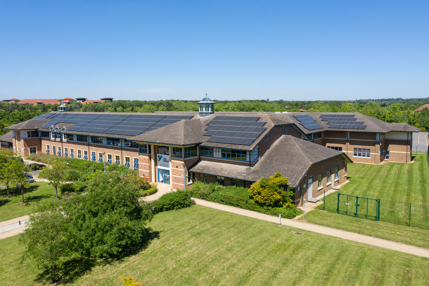
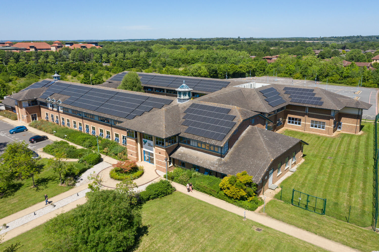
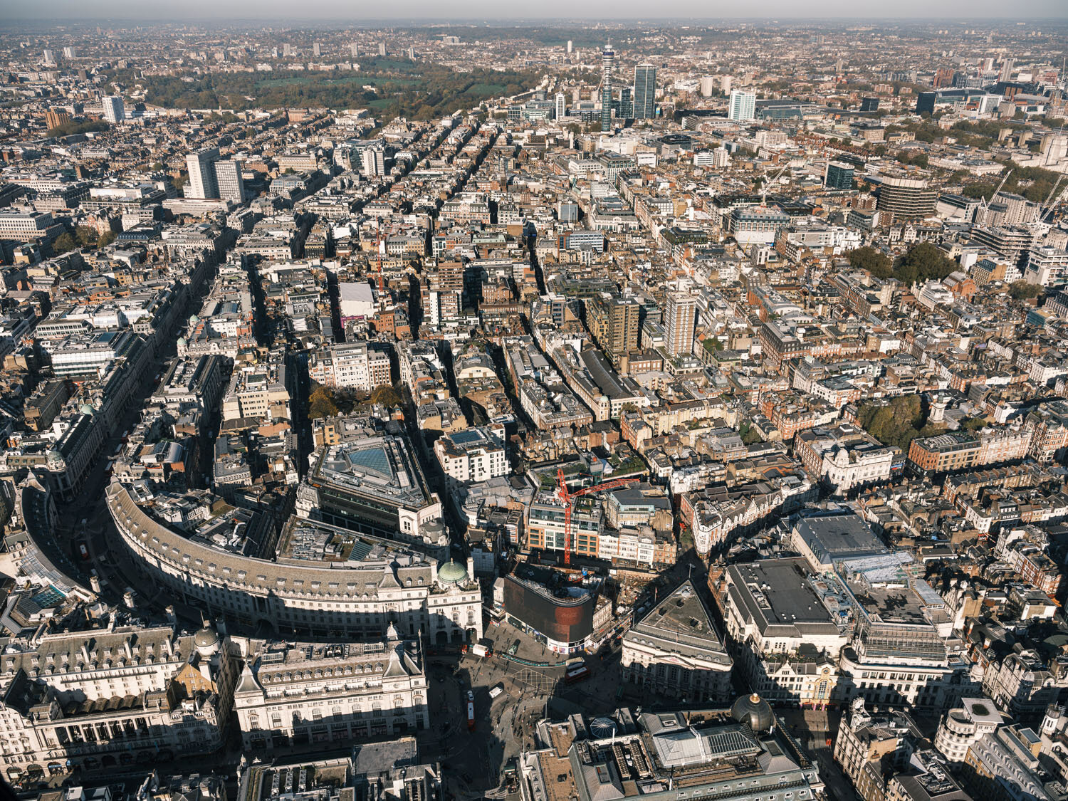
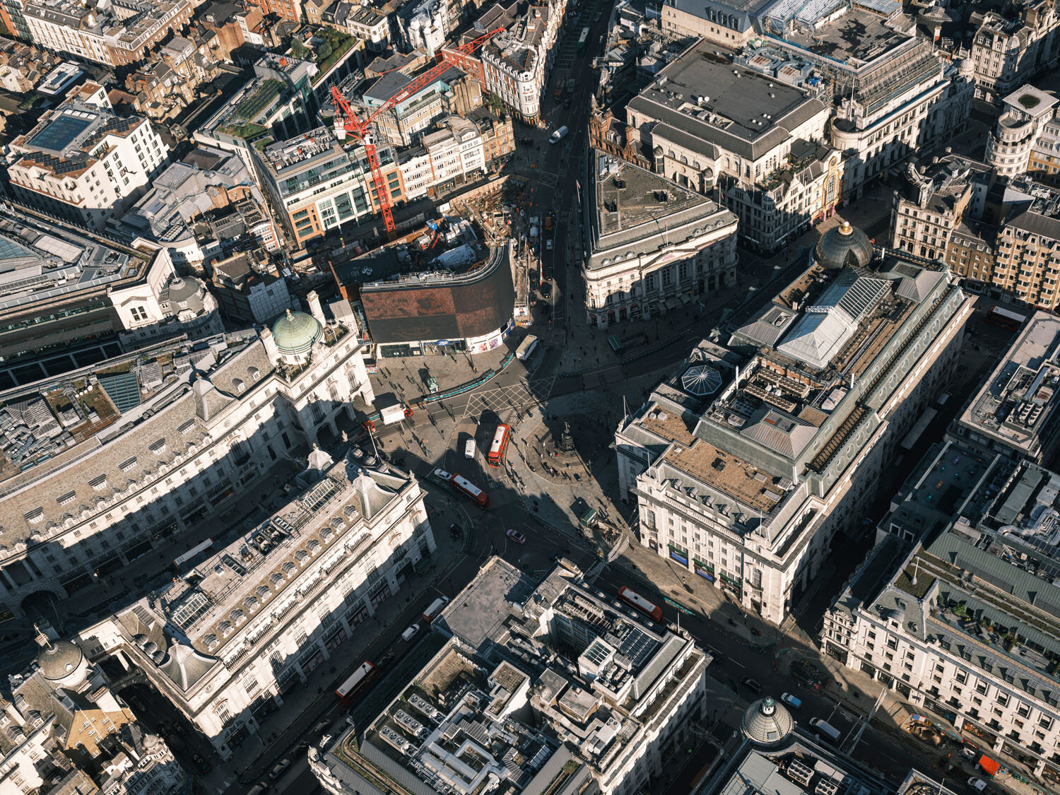
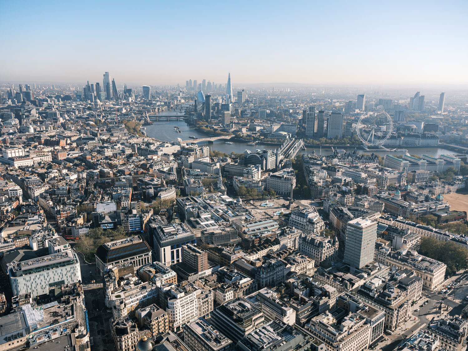
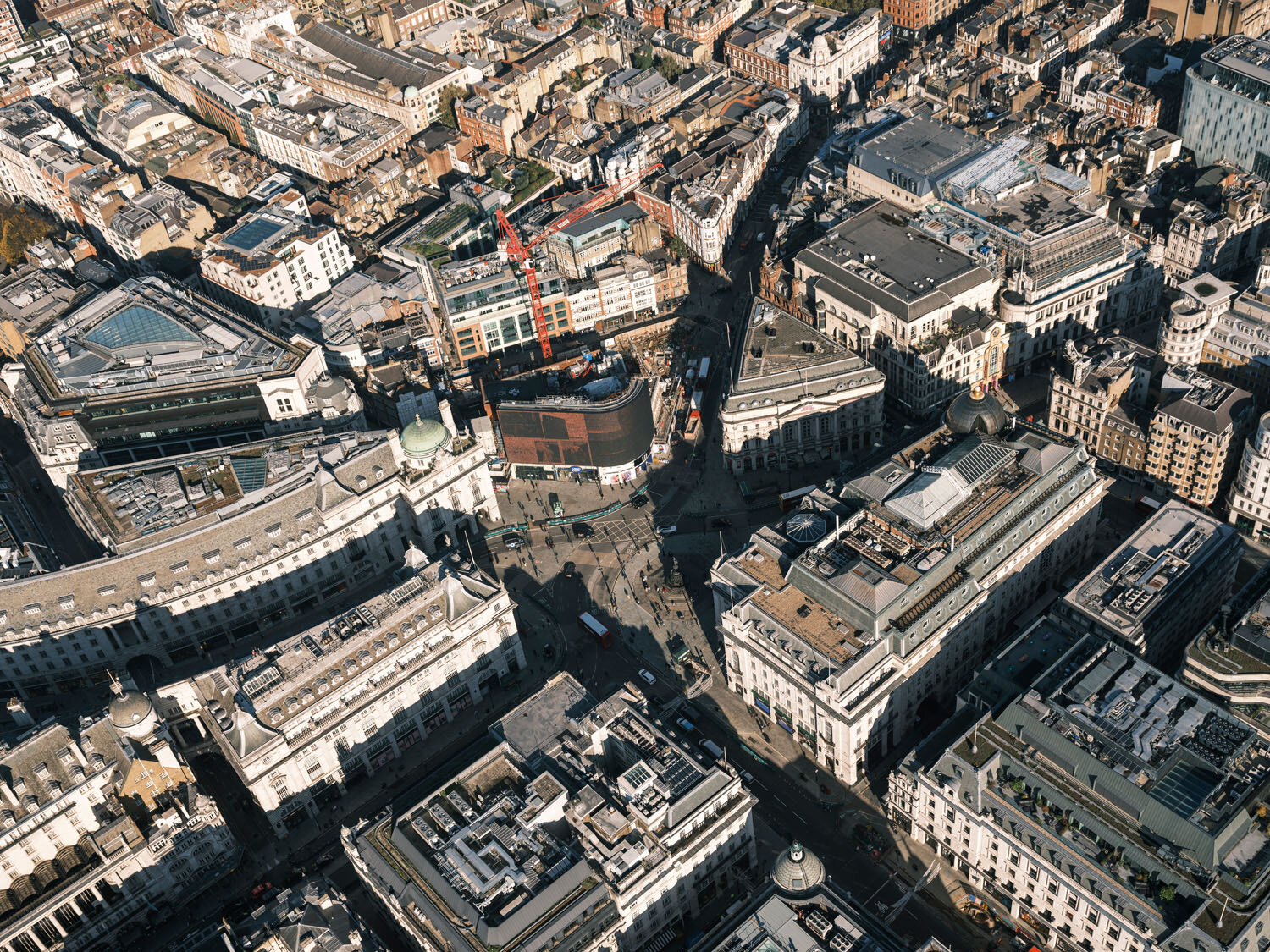
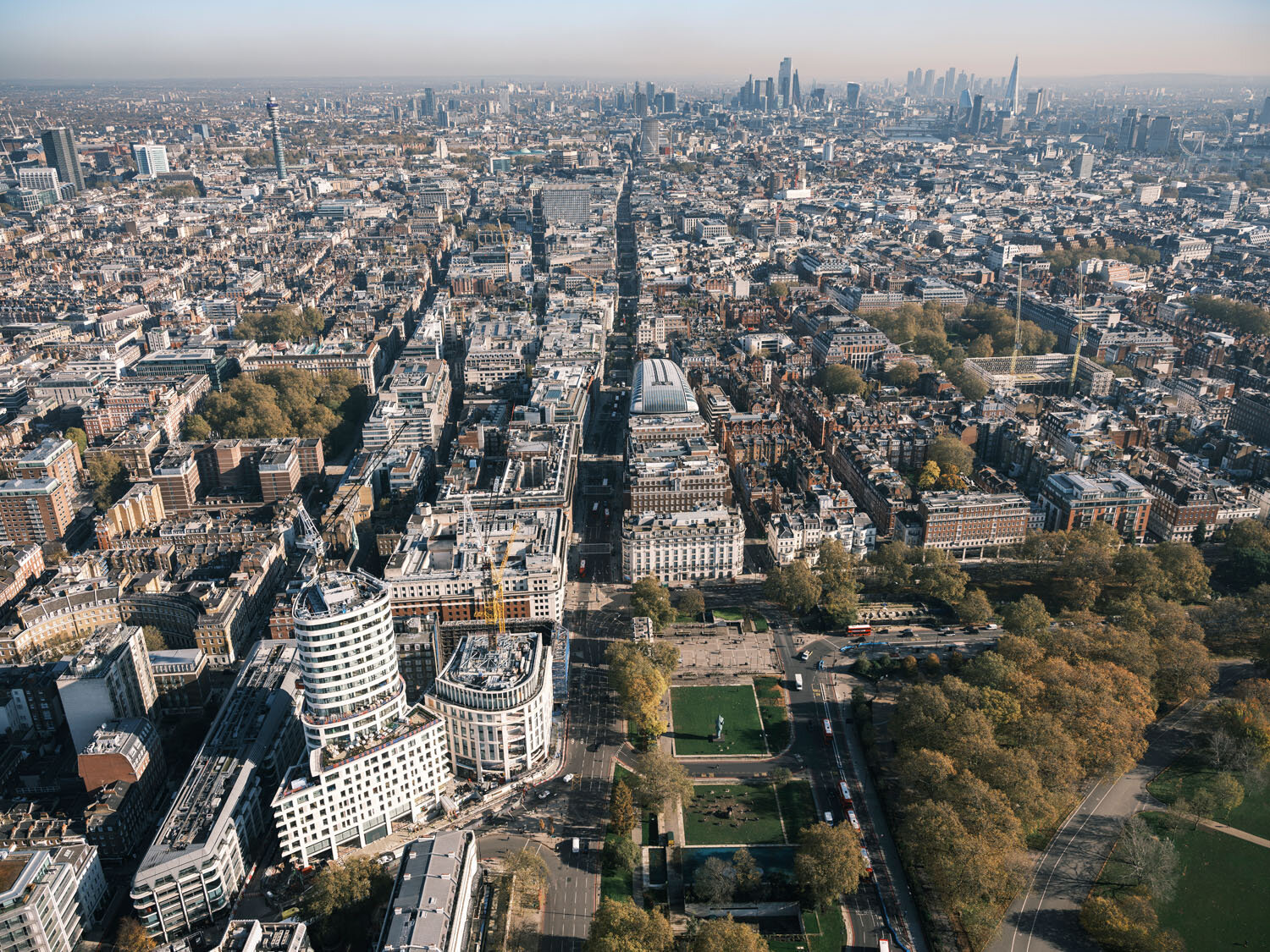
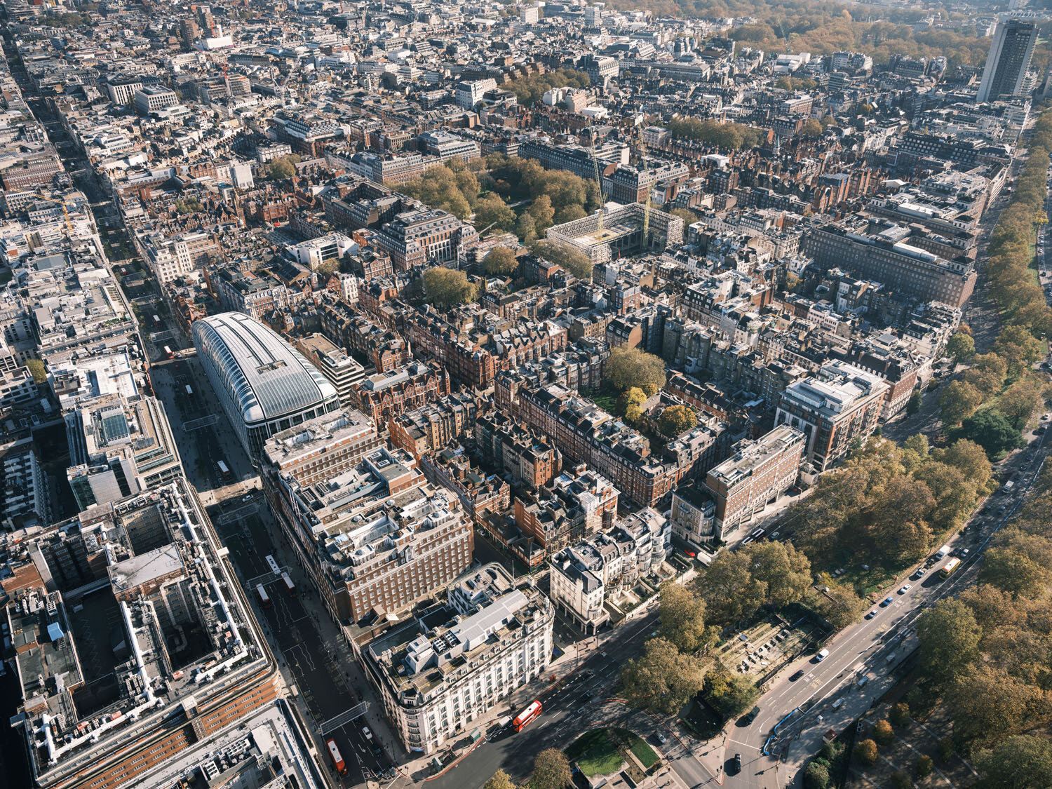
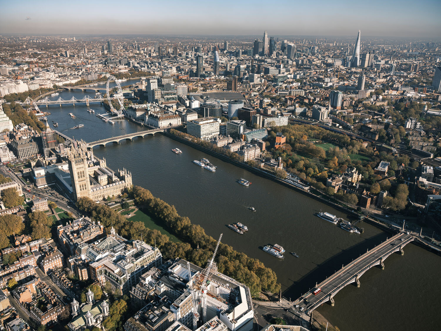
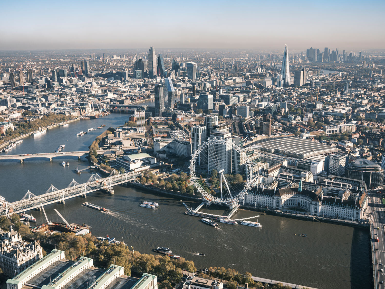
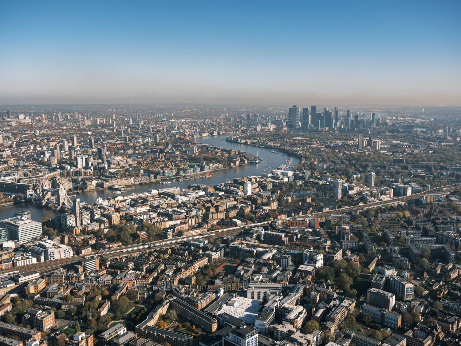
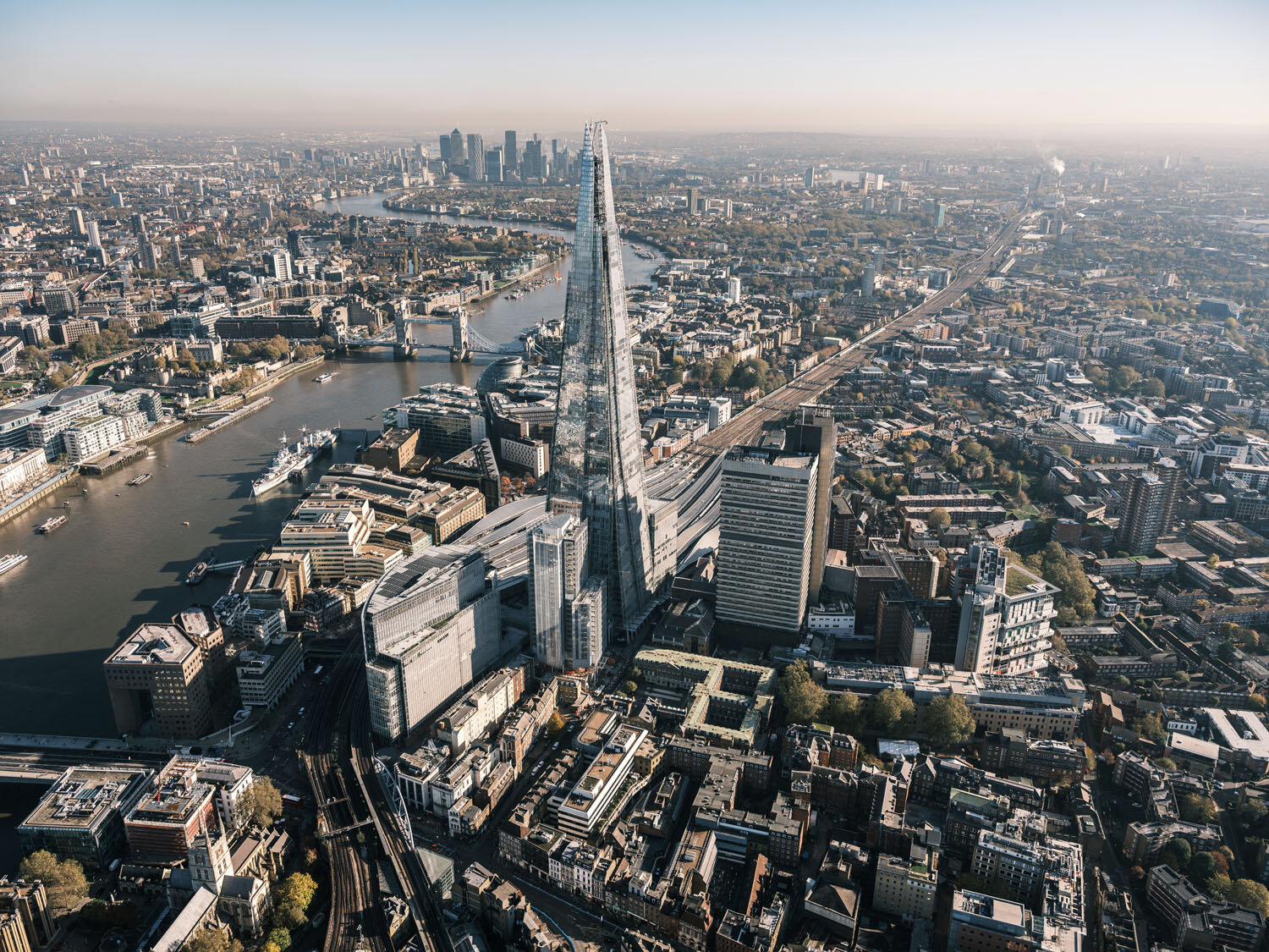
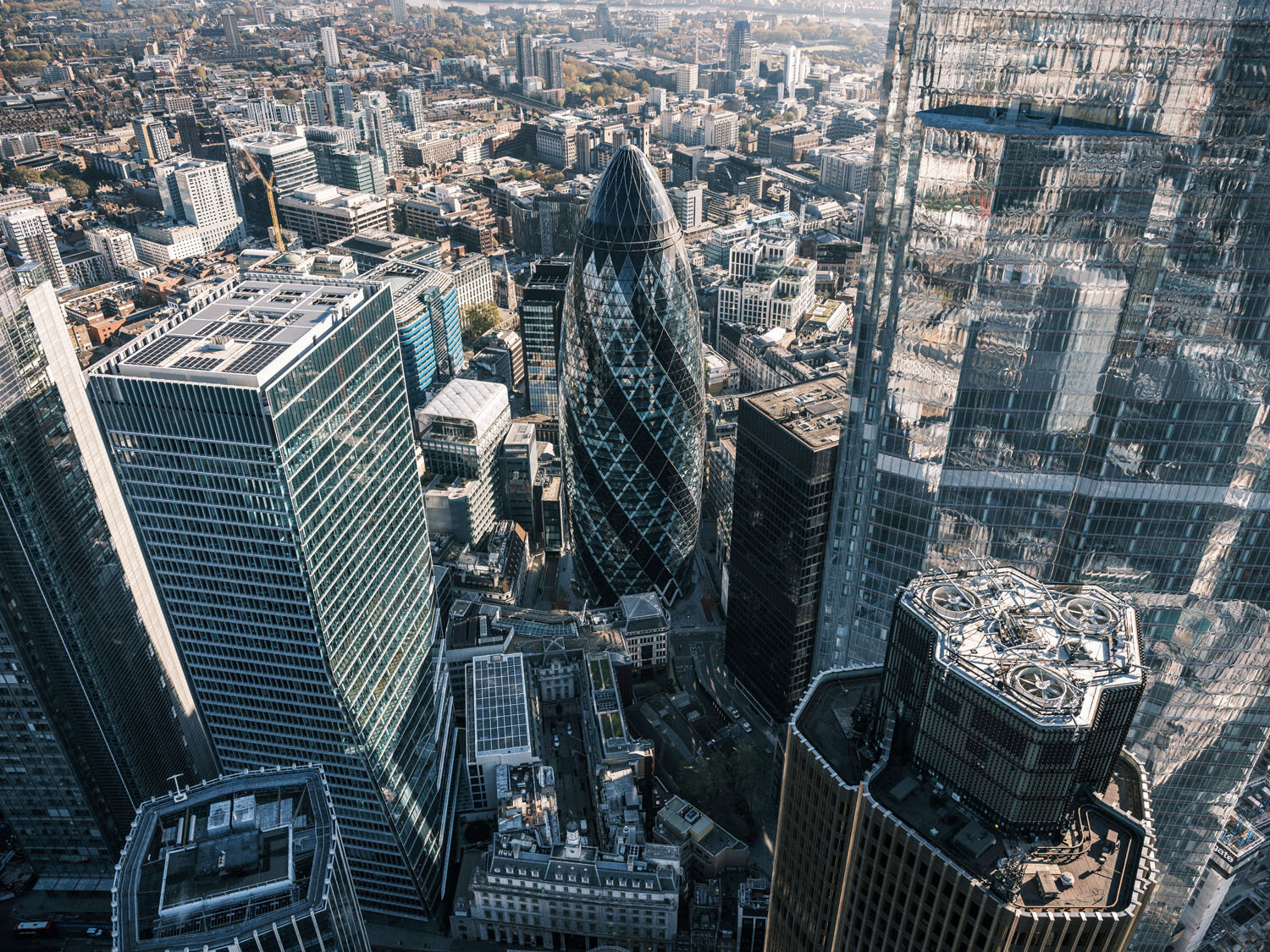
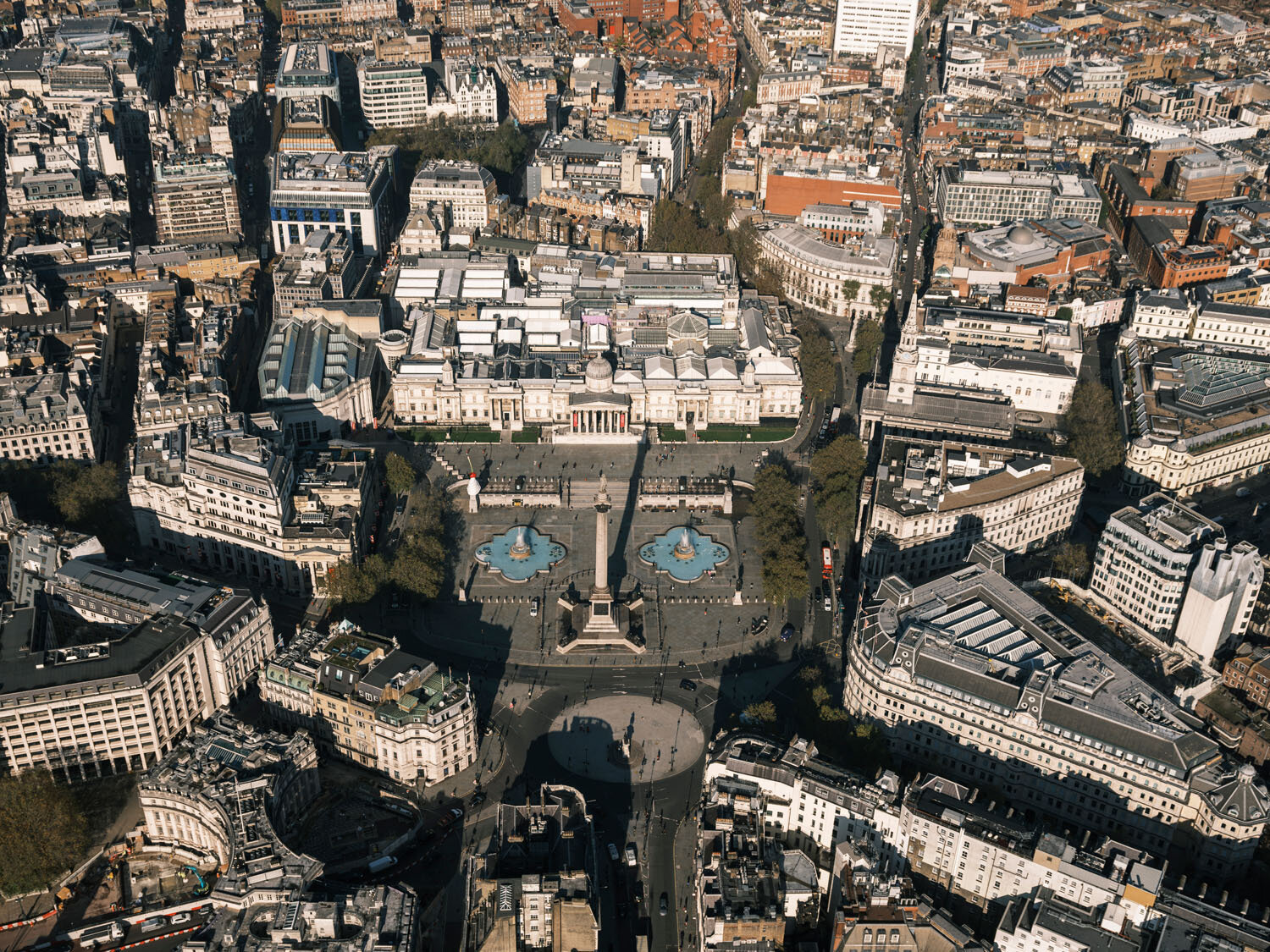
It is amazing how some aerial photographs can literally change the way how you can show a property, the land, the plot, the location, the position, everything becomes visually much easier to understand, specially for the buyer/investor. A lot of people still don’t see the potential of this kind of photos, which has become way more affordable with the evolution of the drones. In the past, for any kind of aerial photography it was necessary to rent an helicopter, which cost quite a lot of money, making the shoot too costly for most of the projects budget, now, using a drone (if the location air space suits), the cost for a decent session of aerial photographs had dropped considerably. This property below. which I shoot couple of months ago is a very good example of how amazing some aerial photographs made with a professional drone can be.